Employer: Western Azarbayjan Regional Water Joint-Stock Company
Starting date: April 2009
Completion date: Feasibility (September 2010)
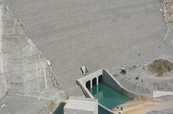
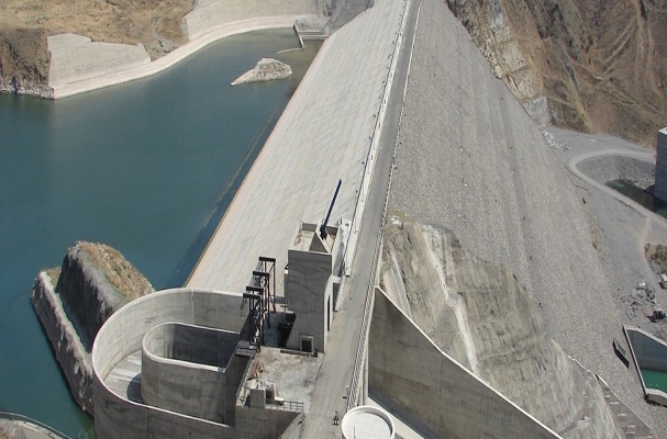
Dam height : 20 m
Reservoir volume : 19.2 milion
According to this project, saving and bringing up seasonal floods to date become possible by constructing a short dam across Cham-Sounias River. Furthermore, constructing a dam across this river plays an important role in controlling the region’s flood in addition to saving water.The highest mountains in the west of Cham-Sounias River are Belar khoyah and Gardah-Dowlak mountains with the heights 2235 and 2219 m, respectively. Of course, the highest mountains of this region are Gorg-Halalan and Khader-Sharafan mountains in the west-south of the county Piranshahr, with the heights 3000 to 3100 m from sea level and Iran-Iraq borderline is in the ridge of these mountains. This region is a semiarid region with cold winters and mild summers. This basin area is located in the west-south of Urmiah sea with the area 343 and the perimeter 93 km