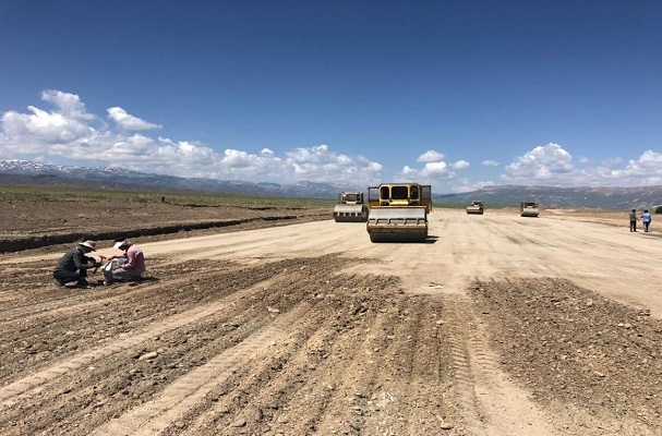
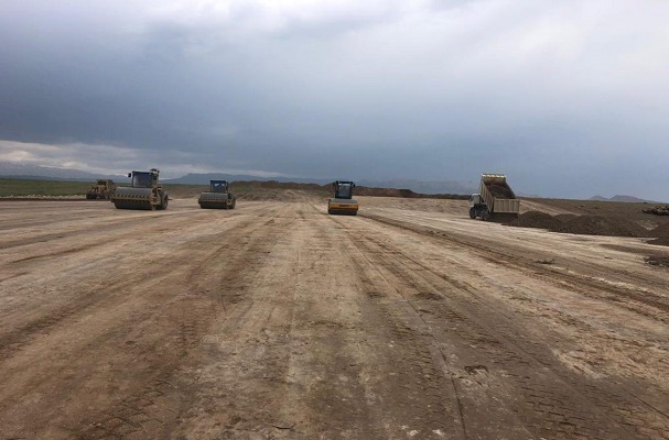
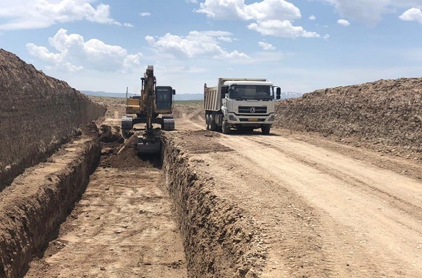
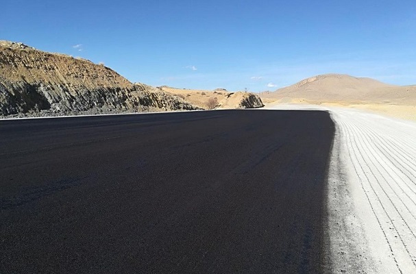
- Four lane Improving And The Tabriz-Ispiran Route From 10 Km To 22+164 Along 12.164 Km
- Execution of the remaining operations, completion of improvement and four lanes of section 2 of Tabriz-Ispiran highway
- Completion of four-lane improvement and asphalting operations, section 2 of Tabriz-Ispiran route
- Supervision Services in tower construction (Arsh- Farahzadi) in Tehran
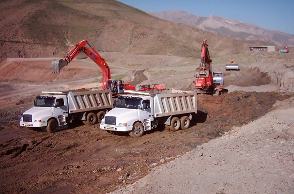
- Supervision services on the Gachsaran-Genawa road project in Kohgiluye and Boyerahmad province
- Supervision Services in tower construction (Paitakht) in Mashhad
- Operations for collecting descriptive and photogrammetric data required for agricultural land cadastre located within the watershed of Lake Urmia
- Preparation of Agricultural Land Cadastre Map and Elimination of Interference with Parallel Regulation in the Area of 50000 hectares in Ardebil
- Cadastral map of agricaltural lands with aerial photos and collecting descriptive information of agricaltural land in Kermanshah province
- Preparation of Agricultural Cadastral Plans and Elimination of Interventions in Parallel Provisions of Agricultural Jihad in Khuzestan
- Studies on the identification of the Gheshlagh River in Kurdistan for 30 km and the presentation of a liberation strategy
- Agricultural land cadastre and removal of interactions between the city of Raz and Jergalan in North Khorasan province
- Preparation of Agricultural Land Cadastre Map with the Possibility of Scale and Airborne Photographs in Hamadan City
- Eliminating of interference caused by implementation of parallel regulations in agricultural lands of Guilan province
- Studies on the determination of the limitation and substrate and the first stage of river basin management in Bijar
- Preparation of cadastral map 1/2000 with descriptive information and ownership of agricultural land in Sarab 2
- Preparation of the 1/2000 cadastre map of Abbas Abad Agricultural Land (Mashhad)
- Monitor all projects in Tehran’s industrial estates and settlements
- Updating maps (1/2000) by using digital photos in Shahrekord
- Surveying and monitoring of the river Adori Bam