Land surveying and Microgeodezy
Providing Topograohic Map and Cadastre of Irrigation system and Drainage of Darab plain
Employer: Fars Regional Water Joint-Stock Company
Starting date:October 2009
Completion date: July 2010
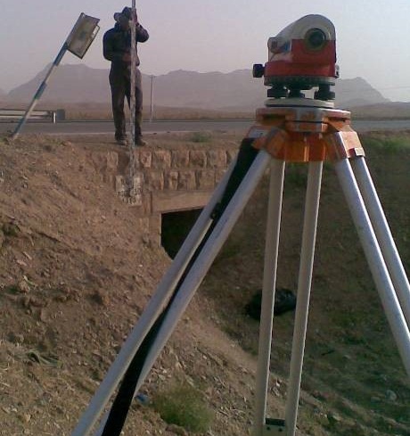
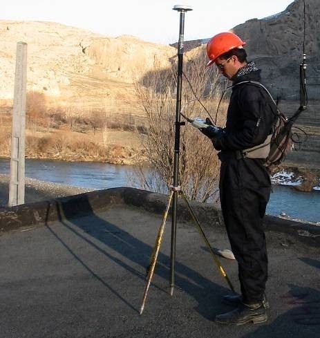
Using the reference points placed, GPS group starts its work and gives UTM general coordinates to all of reference points and GPS two-frequency system ZMAX is used which is equipped with RTK and Post Process.Reference points, first degree point was selected with the name of village “Deh Kheir” and number 162 located in Darab county and the second degree point was selected with the name “Amir Hajilo” with number 298-001 located in Fasa county whose coordinates are surveyed from the GPS point characteristics of the survey organization and their characteristics are included in the appendix of this report.Then, using Layka total station device, models 705 and 702, the details of the terrain were collected and the points were specified according to the instruction of maps 1:2500.All points of the main network were read by GPS system in the area and at the same time, by process post method and its processed results and the process of all surface point are given in the paper. The process list includes the ellipse of points’ error and points’ accuracy in the process of every baseline.
Surveying Chavorchi and Abdar rivers in Shahr-e-Babak ,Sirach river in Shahdad and Ab-Bakhsha river in Bardsir
Employer: Kerman Regional Water Joint-Stock Company
Starting date: August 2009
Completion date: August 2010
Using the reference points placed, GPS group starts its work and gives UTM general coordinates to all of reference points and GPS two-frequency ZMAX receivers are used which are equipped with RTK and post processing methods.Reference points, a point with the name “javazm” and the number 242-002 for Chavorchi river, in Shahr-e-Babak and a point with the name “Shahr-e-Babak and the number 1-220 for Abdar river, in Shahr-e-Babak and a point with the name “Tappe-Bazresi” and the number 290-007 and a point with the name “Kouh-e-Siah” and the number 275-004 for Ab Bakhsha river in Bardsir and a point with the name “Tappe-Hoodi” and the number 290-001 for Sirach River, in Shahdad were selected, whose coordinates are surveyed from the GPS point characteristics of the survey. Then, using Leica total station device, models 702 and 705, the details of terrain were collected and the points were specified according to the instruction of maps 1:500.In order to collect topographic maps after coordinating reference points, Leica total station devices, model TC805, are used. Maps are set in AUTODESK LAND software.