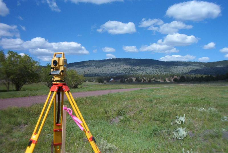
Land surveying and Microgeodezy
In this subdivision various activities are presented as follow:
- Engineering services for surveying the irrigation and drainage networks, dams reservoir, rivers privacy, comprehensive urban design, urban and non urban cadastre, etc.
- Engineering services of surveying with new technologies (terrestrial laser scanner) for mapping the axis of dams, as built drawings of tunnels, providing maps of areas with steep slopes and inaccessible locations, as built drawings of historical buildings, etc.
- Engineering services of surveying for road’s route, transmission lines (water, gas, power)
- Engineering services of microgeodezy for dams and large industrial structures, etc.
- Providing precise leveling and geodesy network in different degrees