GIS & RS
Engineering services in subdivision of geographic information system (GIS) and remote sensing (RS) include:
- Consultancy services and supervision on projects related to GIS
- Designing and implementing spatial information system for various organizations
- Provide executive guidelines to produce, prepare and updating spatial and descriptive data
- Preparation of spatial and descriptive data for use in GIS environment
- Preparation, development and production of software and analytical tools needed in GIS environment
- Preparation of RFP for GIS projects
- Providing GIS services under Intranet and Internet network (WEB GIS)
- Organizing the management, analyzing and processing of mapping and descriptive information in GIS environment
- Provide new GIS applications in different sciences related to spatial and descriptive data
- Training the various software of spatial information systems such as
AUTO DESK MAP, ARC GIS, ARC VIEW, ARC INFO, MAP INFO, etc. - Satellite image processing, automatic classification of applications and interpretation of visual information
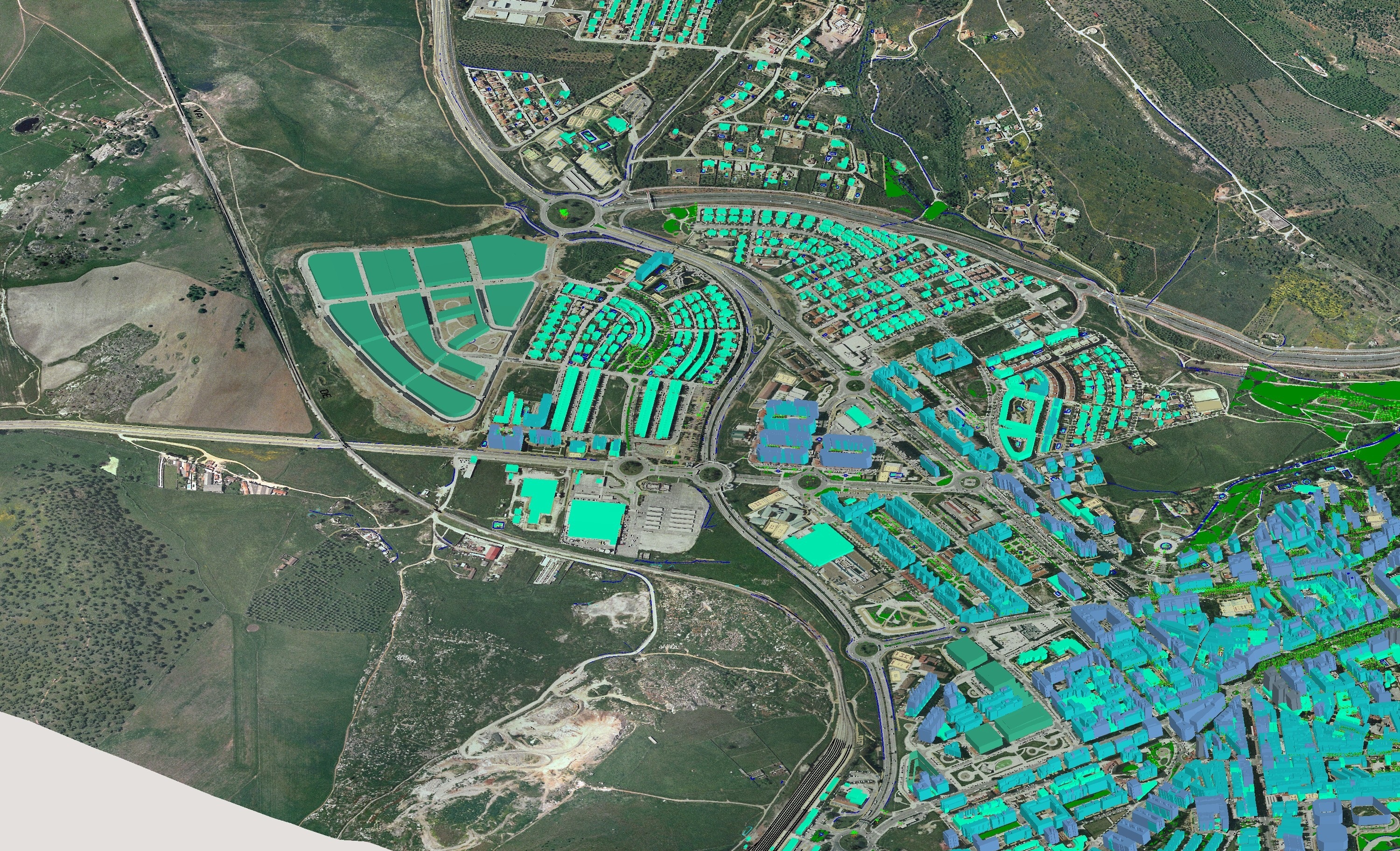
- Providing urban, agricultural, and forestry maps from satellite images
- Scanning maps documents and their processing to present in forms or vector or raster data
- Processing of initial data and changing them into digital products
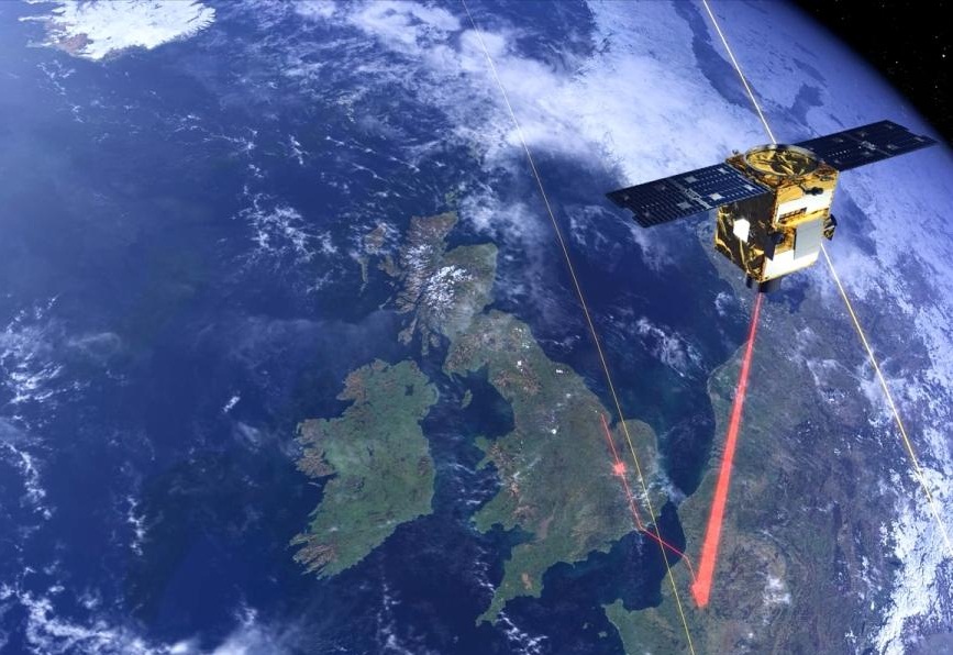
- Design, implementation and commissioning of remote sensing systems
- Preparation and provision of software tools for digital processing environments of satellite images
- Providing topographic model of artophoto and the three-dimensional urban landscape
- Education of software of RVECTW, ILWS, PCI GEOMATICA, ERDAS, ENVI