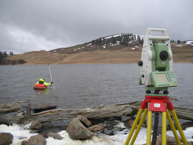
Hydrography
Activities conducted in this subdivision are as follows:
- Providing the depth maps in different scales using SONAR SYSTEM (SINGLE OR MULTI BEAM SONAR)
- Evaluation of hardness and density of ground layers based on data obtained by photographic device of SIDE SCAN SONAR
- Diagnostic status layers below the river bed, bay, lake behind the dam and the sea using SUB BOTTOM PROFILLING
- Specific studies over specific sites selected for quays based on hydrographic data for military and civilian purposes
- Determination of sedimentation in dams reservoirs
- Assessment of water flow in rivers and seas
- Measurement operations of sea tides