Photogrammetry
In ts subdivision the following services are presented:
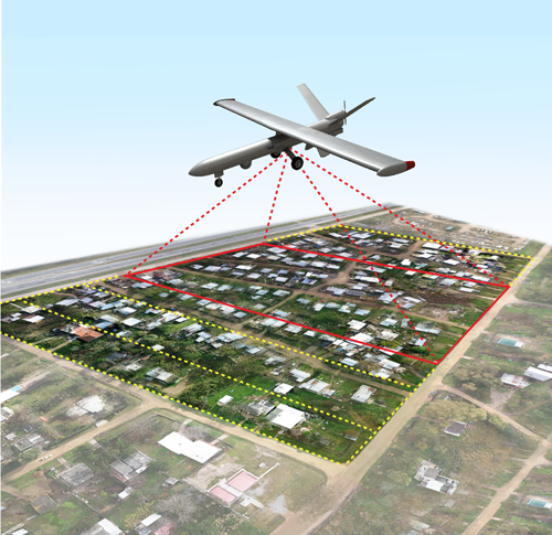
- Providing maps using aerial photos
- Topographic maps at different scales using SOFT COPY software and other digital photogrammetry software
- Updating, organizing, and enrich the city maps
- Performing cartography operations for urban and mountainous farms at different scales
- Prepared packaged software for the automation of cartography operations
- Ortophoto production based on photographs and satellite images
- Producing digital terrain model of earth and digital surface model
- Investigation and analysis of three dimensional models to determine the different forms of objects in the application of archaeological, architectural, industrial and military
- Three-dimensional measurements performed at different times on the monuments and architecture to assess their trend.
- Providing accurate measurements of coordinates and accurate measurements of three-dimensional models of various objects in various applications of short-range photogrammetry CLOSE RANGE using images and laser data.
- Use of photogrammetry capabilities in the reverse engineering in industrial projects